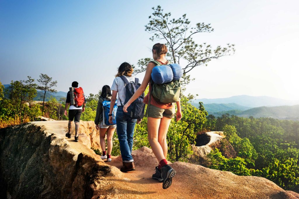
Historic trails you can walk from the Hotel Eco Life area

Trail form San Miguel de Abona to Aldea Blanca
This path connects the two villages. The route it follows is largely that of the former “Royal Highway to the South” which in places retains some of the original paving and along its route passes through the Caserío de La Hoya (a hamlet), as well as natural springs such as those of La Hoya and Tamaide. The road allows you to see points of great historical, ethnographic and landscape value, following ravines downhill and through land that retains its rural character.
- Starting point: San Miguel de Abona
- End of route: Aldea Blanca
- 9000 m
- 4h
- Low
Fuente de Tamaide Trail
Along its length the Tamaide Spring Path has some points of great scenic, historical and ethnographic interest in San Miguel de Abona. It runs along one of the branches of the old Chasna “Royal Highway” (a network of bridle paths financed by the Crown), linking La Orotava with Vilaflor and is located in a ravine that runs from “coast to summit”, typical of the middle slopes of South Tenerife. The Tamaide spring was a place with a supply of water, serving to water the animals and to wash clothes. It was also an obligatory passage for the herders of the Abona district. The road passes right by the Caserio de La Hoya, one of the oldest inhabited villages in the municipality.
- Starting Point: Carretera del Lomo de la Hoya
- End of route : Carretera del Lomo de la Hoya
- 1300 m
- 30’
- Low
The Las Lajas Trail
The Las Lajas footpath runs along a wide ridge with gentle slopes between gorges, between the historical town center of San Miguel de Abona and Aldea Blanca. (“Laja” means slab of rock). This road is an old herding route already used in Guanche times and is closely associated with existing archaeological remains found in caves along the route. The goatherds used it as they moved from the coastal areas to las Cañadas (surrounding Mt. Tide) in search of better pastures for their goats. It also served as a route for drivers of pack animals carrying their goods on mules, camels and horses, and as a means of communication between Aldea Blanca and San Miguel, as it was the route used by the residents of Aldea Blanca to carry the deceased to the cemetery.
This circumstance led to it becoming known as “Path of the Dead”.
- Starting Point: Historical centre of SM de Abona
- End of route: Aldea Blanca
- 4230 m
- 2h
- Low
Trail form Monte Cho Pancho – La Hoya
This path connects the village of El Roque with the forested area of Cho Pancho and was known as “Camino de La Silleta”. It is situated in the northern part of the municipality of San Miguel de Abona, close to the boundary with the municipality of Vilaflor. The good state of conservation of the special characteristics of the area where it is situated permits the visitor to appreciate the most outstanding natural and cultural aspects of this area in the middle slopes of the south part of the Island.
Its rich heritage allows us to look back and understand the agricultural environment and rural life of the south of Tenerife and highlight the surroundings in which they evolve and the people who are involved.
- Starting Point: Forest área Cho Pancho
- End of route: La Hoya
- 4640 m
- 3h
- Médium
Note:
Remember that these trails run through open spaces that are exposed to various natural phenomena. You walk along them on your own responsibility, so please take care and respect the environment. We recommend footwear suitable for walking in mountain terrain, comfortable or sports clothing, sunglasses, a hat and sun cream.
